I’ve learned you can’t see everything from the ground, so a few years ago I learned to fly a drone to get some unique perspectives on the Southwest. The images are often compelling, and you just can’t get these photos any other way. Many of the photos here were taken with a DJI Air 2S drone, and a DJI Mavic 3 Classic drone. I’ve also used a DJI Air 3S and now mainly fly with a DJI Mavic 4 Pro. I’m also experimenting with an Antigravity A1 drone that can shoot in a 360 degree field of view.
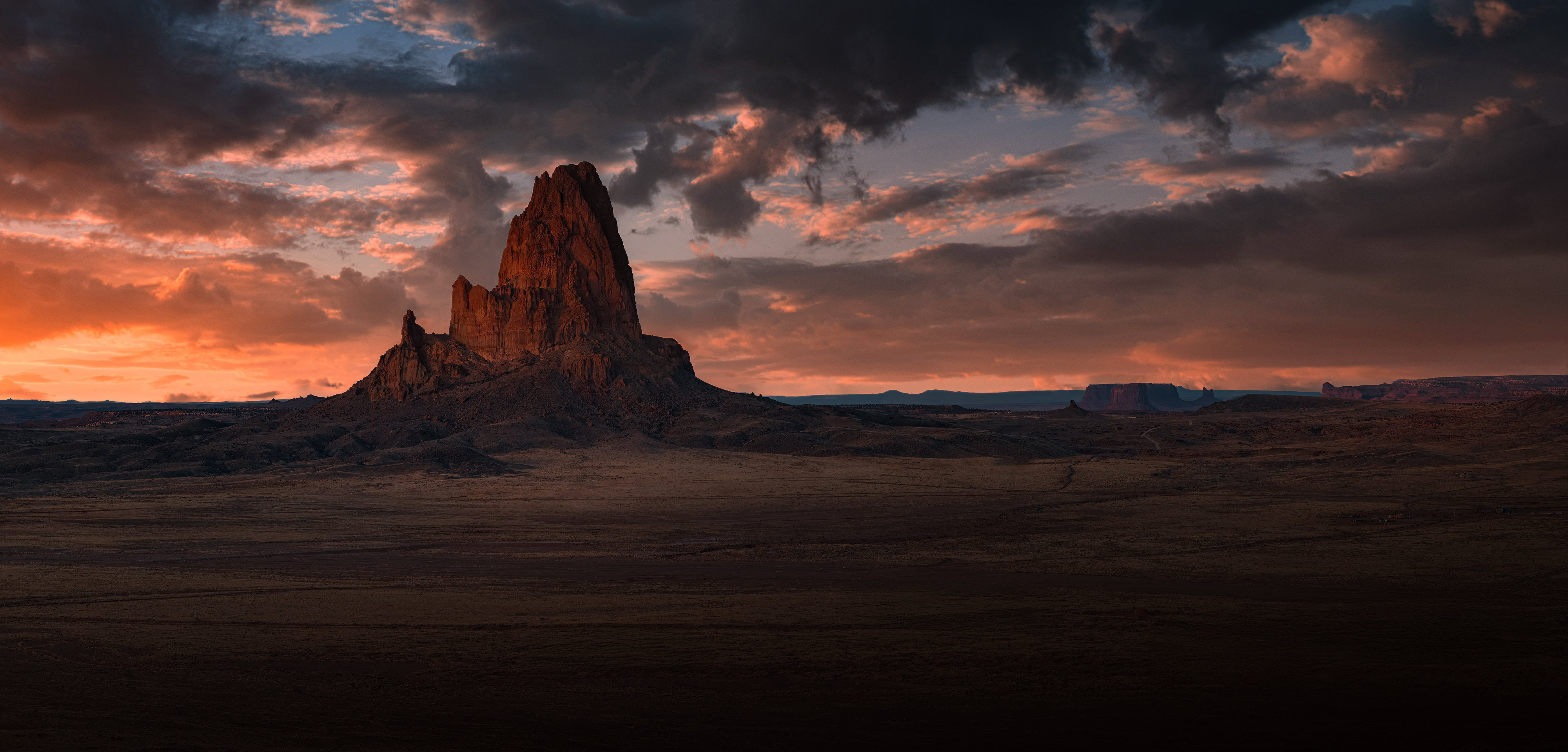
Agathla Peak
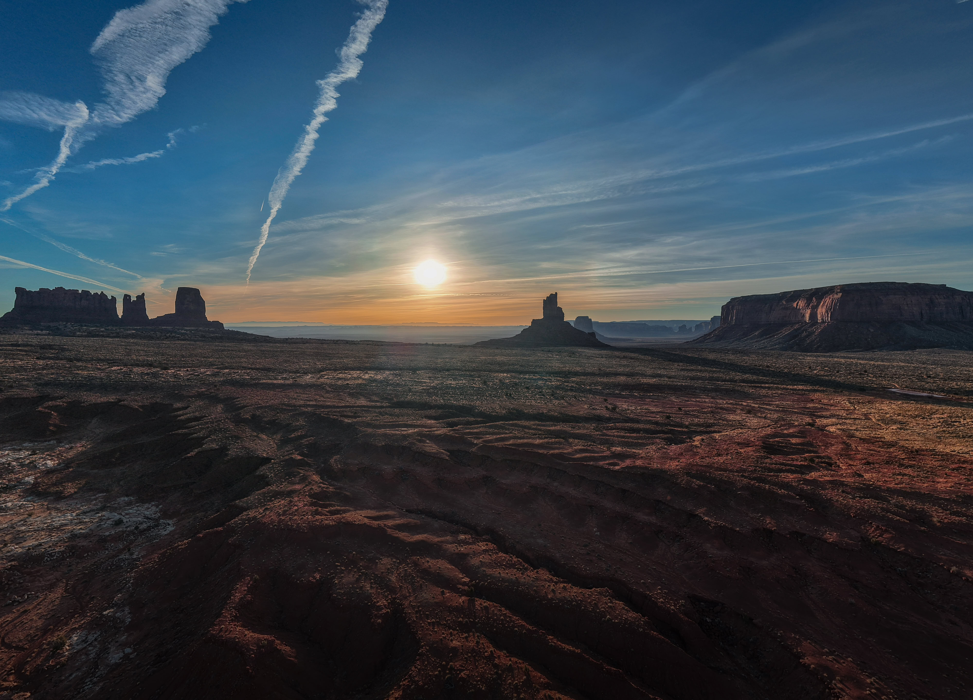
Monument Valley
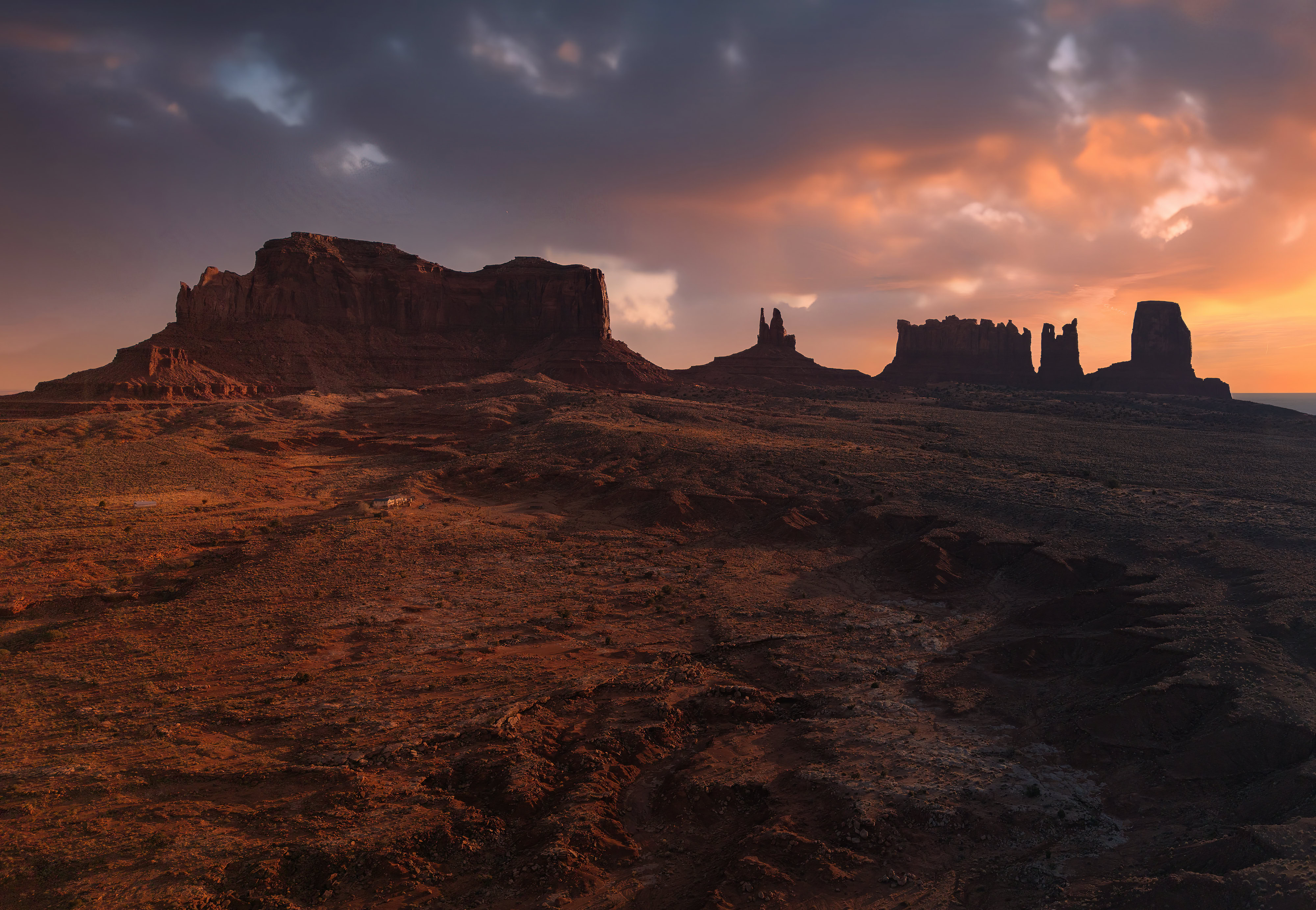
Monument Valley
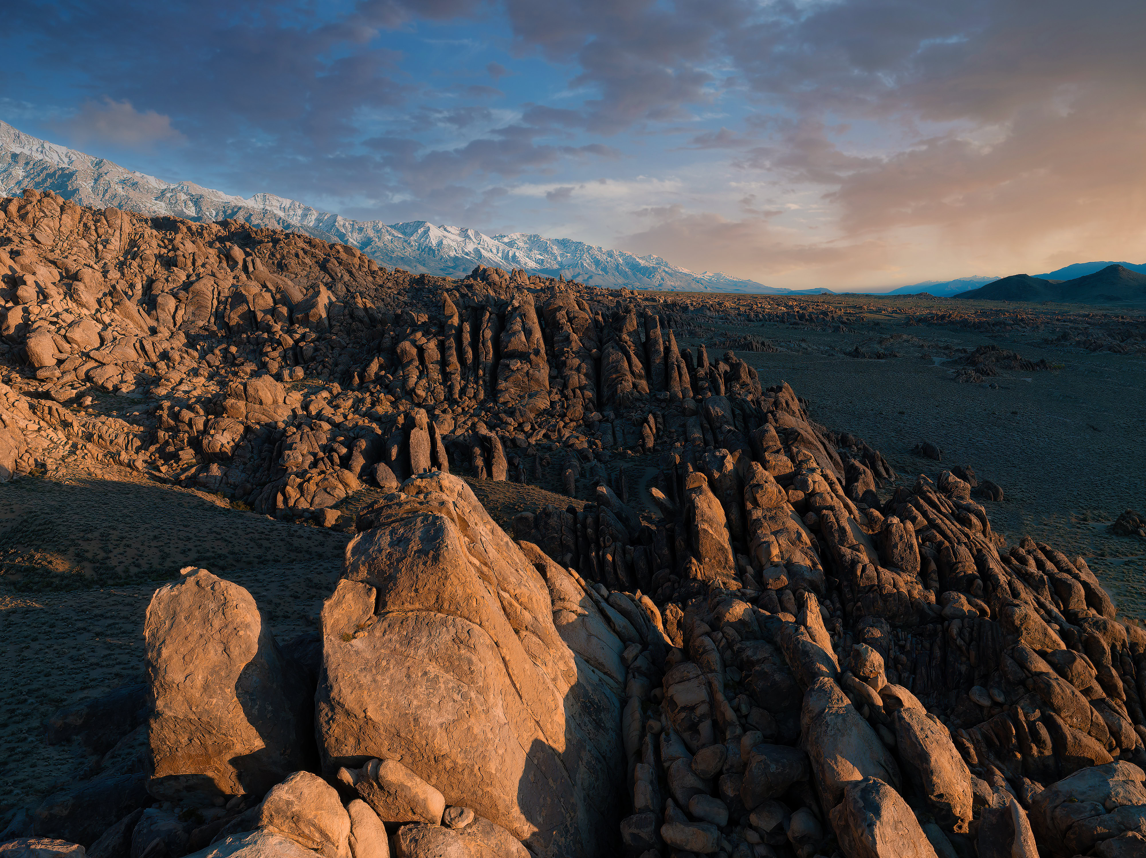
Alabama Hills

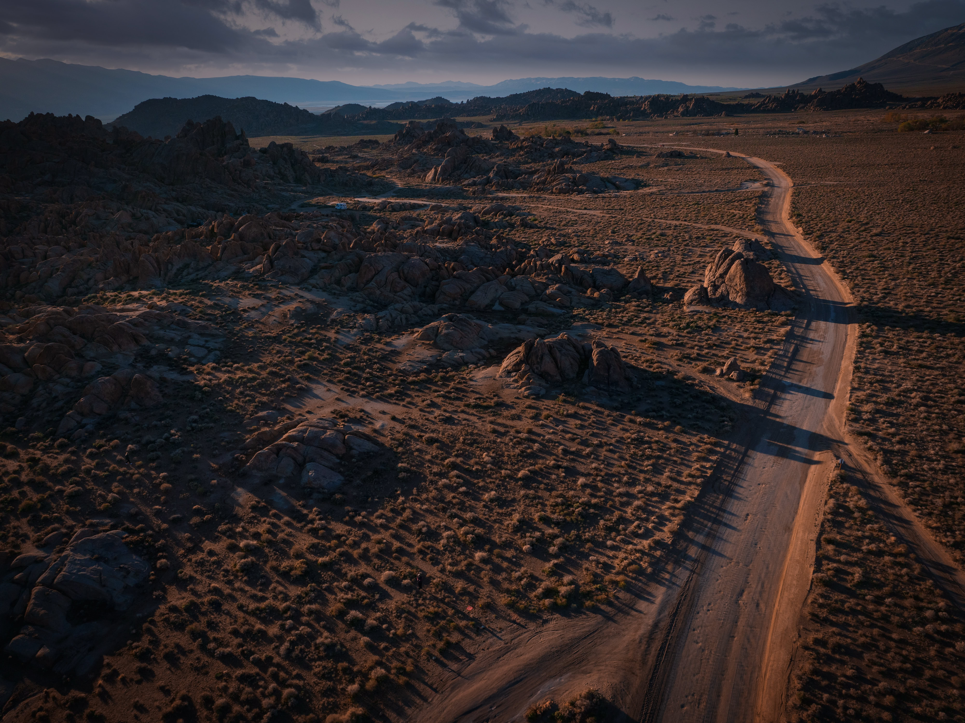
Movie Road -Alabama Hills
Alabama Hills

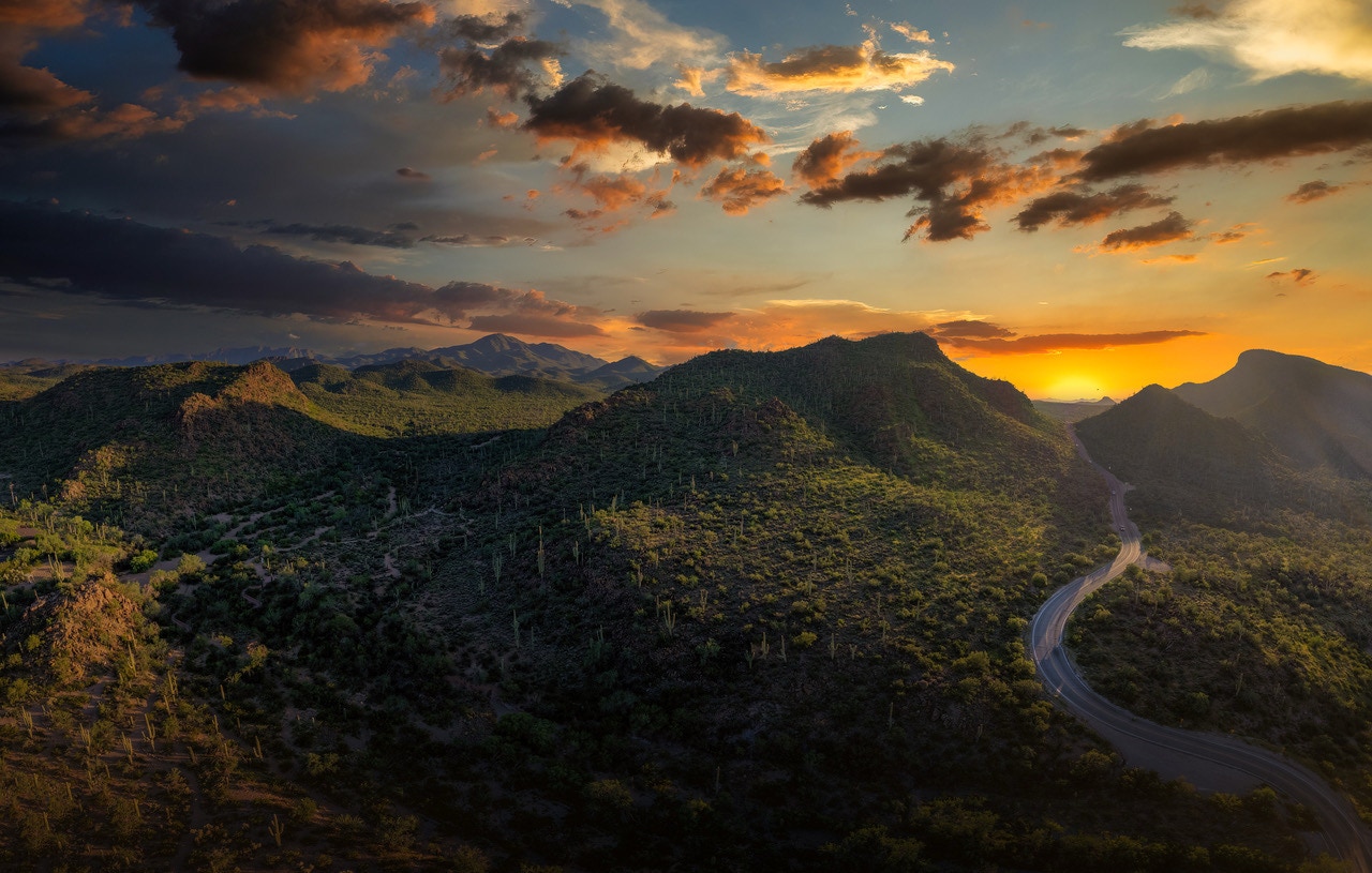
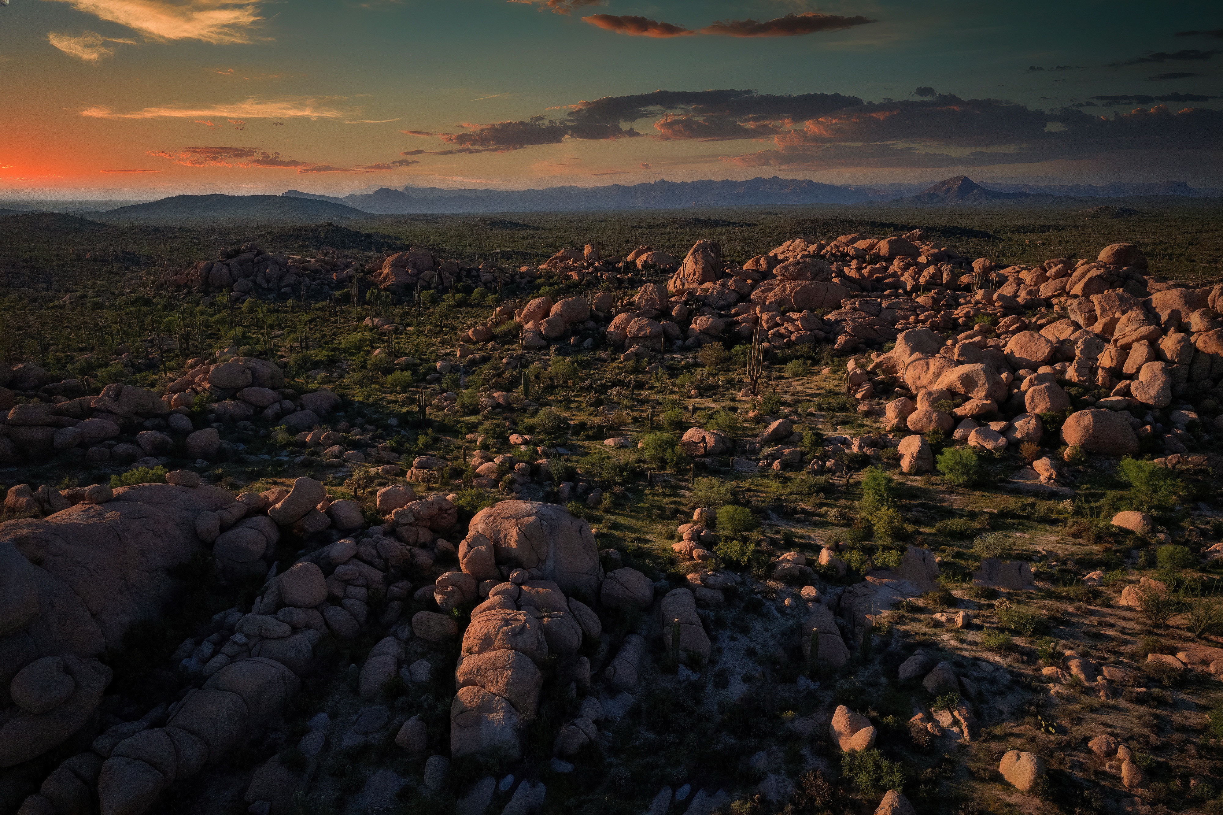
Sunset above Picture Rocks, AZ
Small Mountain in the Catalina chain
Above Windy Point on Mt. Lemmon, Az


Above Canyon Lake, AZ
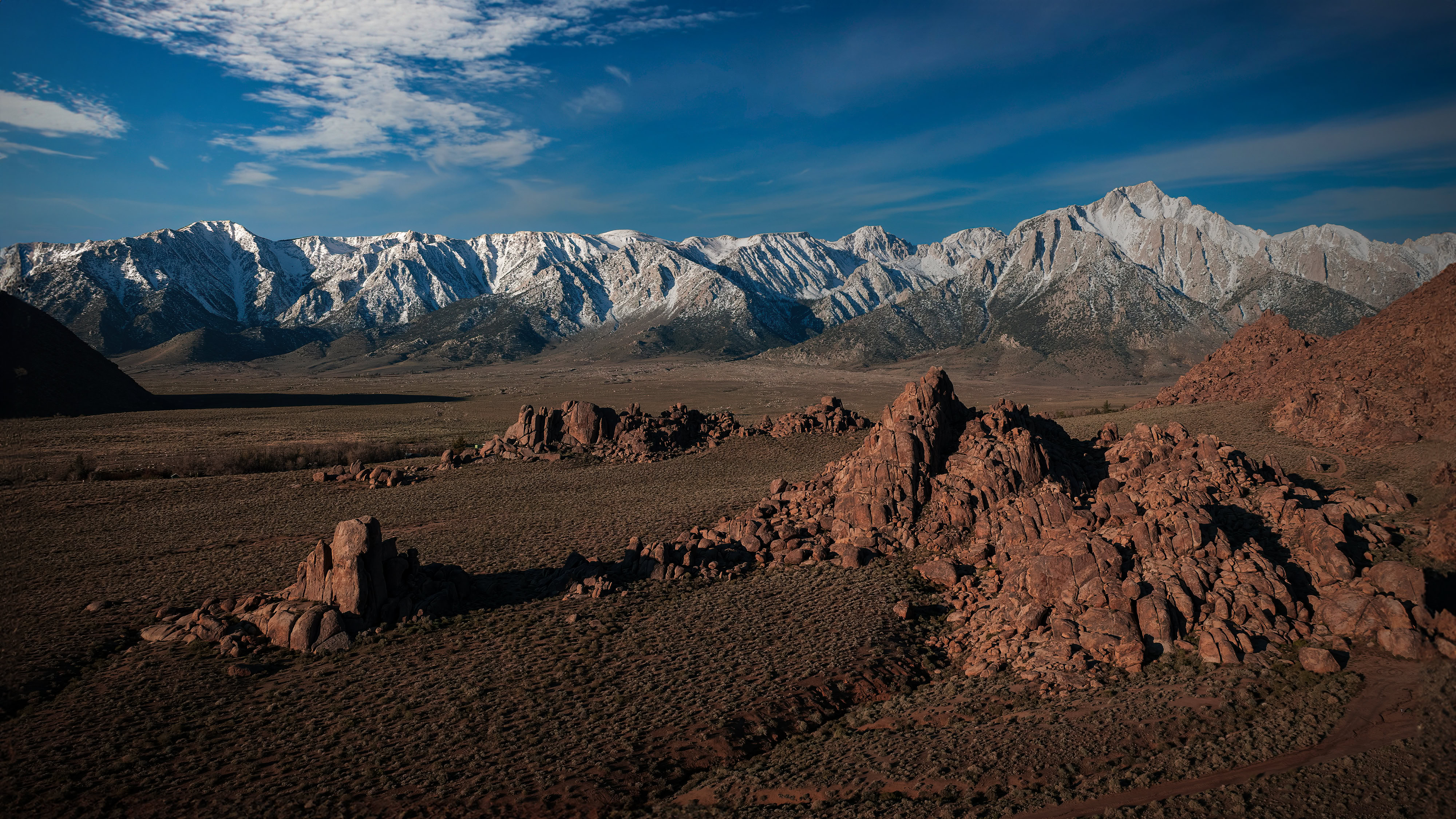
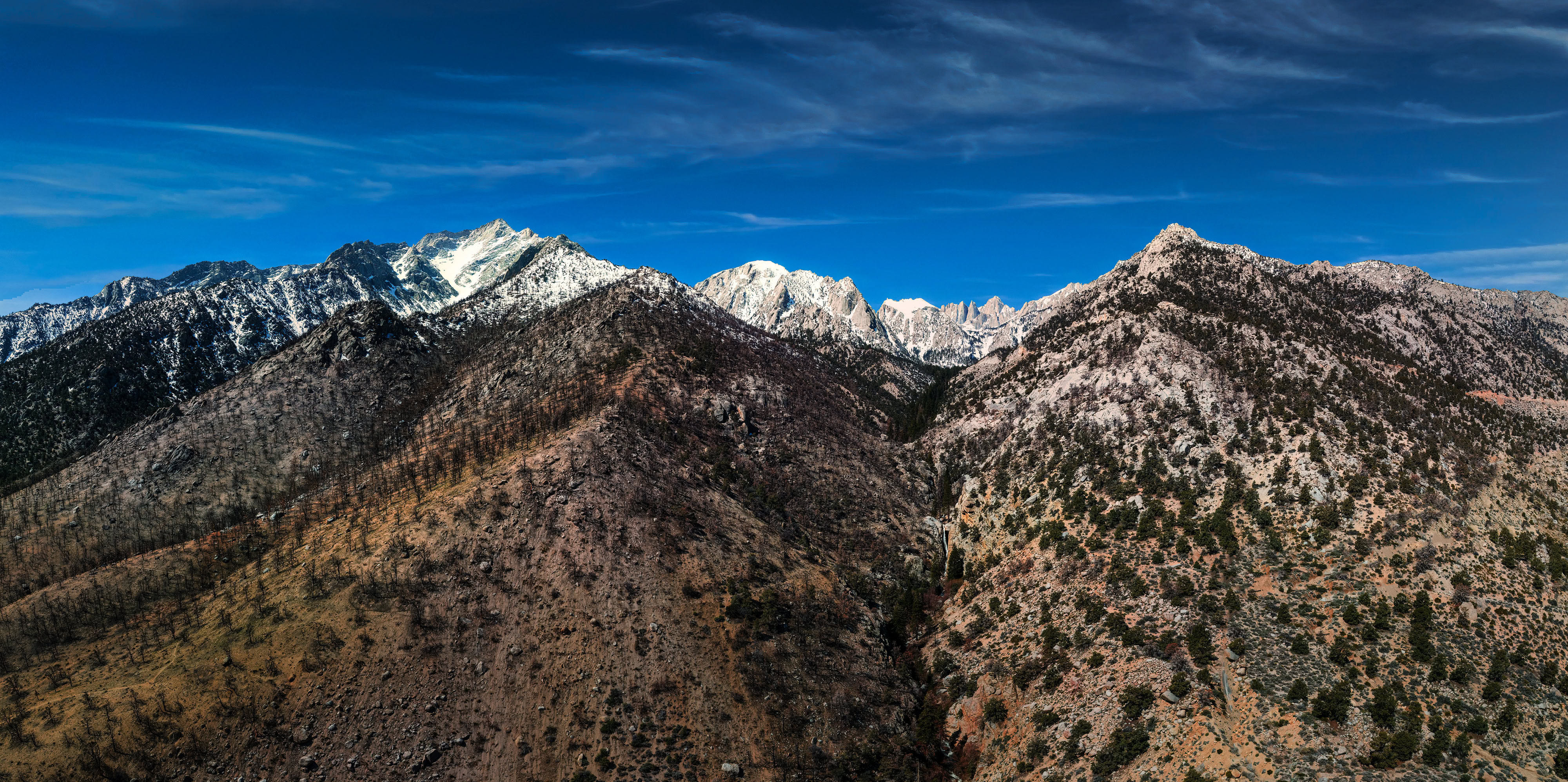
Sierra Nevada Mountains near Lone Pine, CA
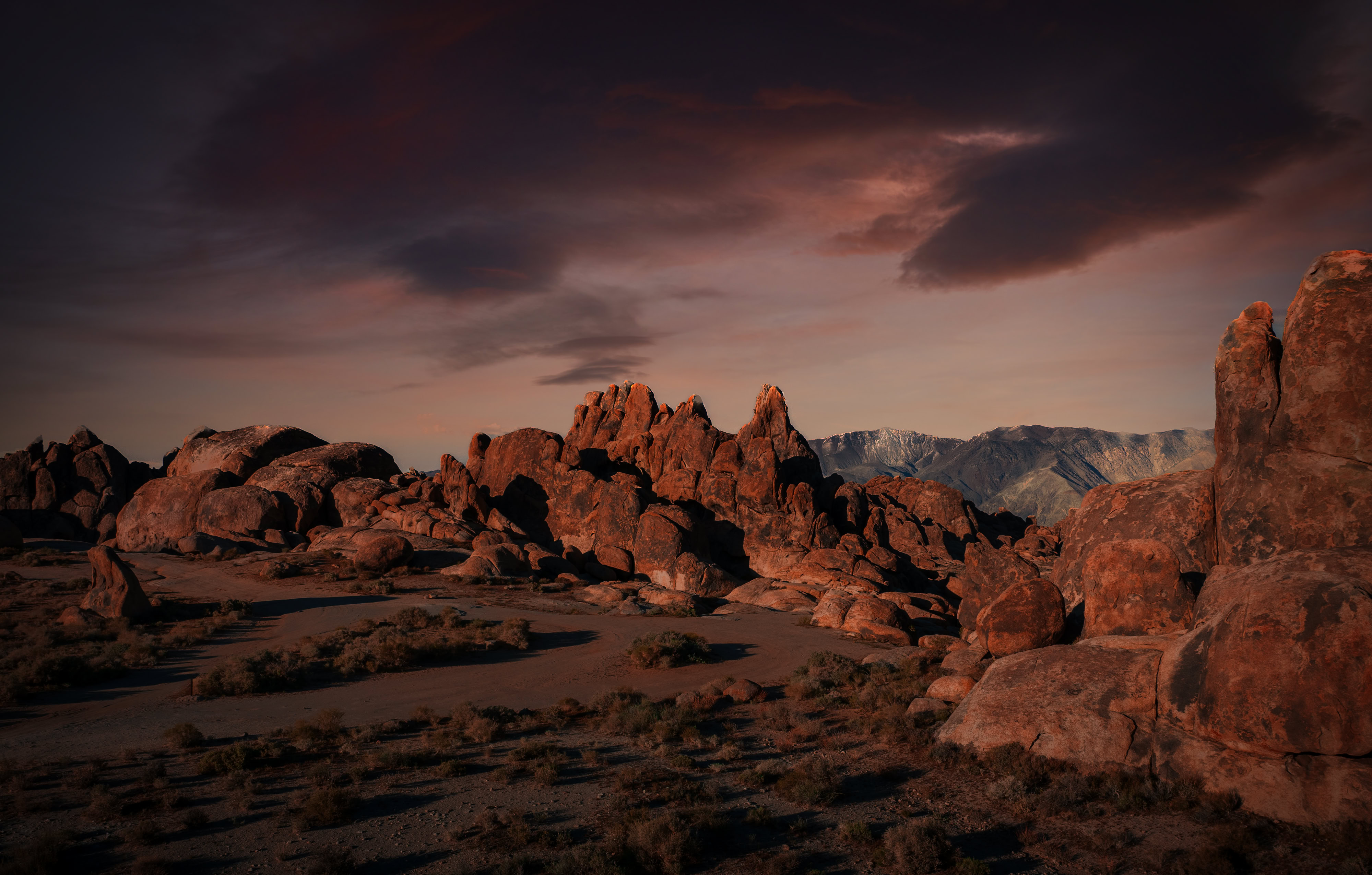
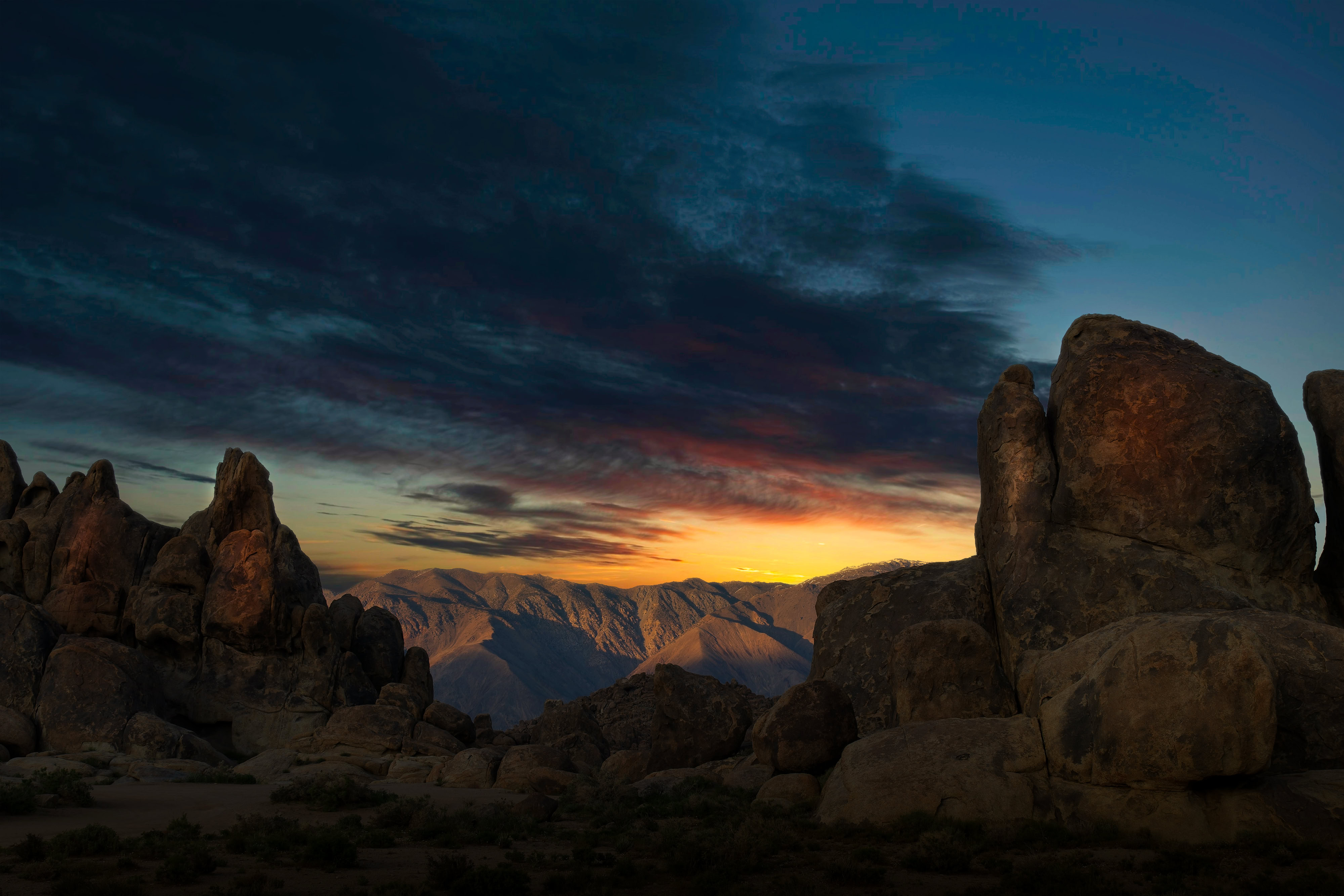
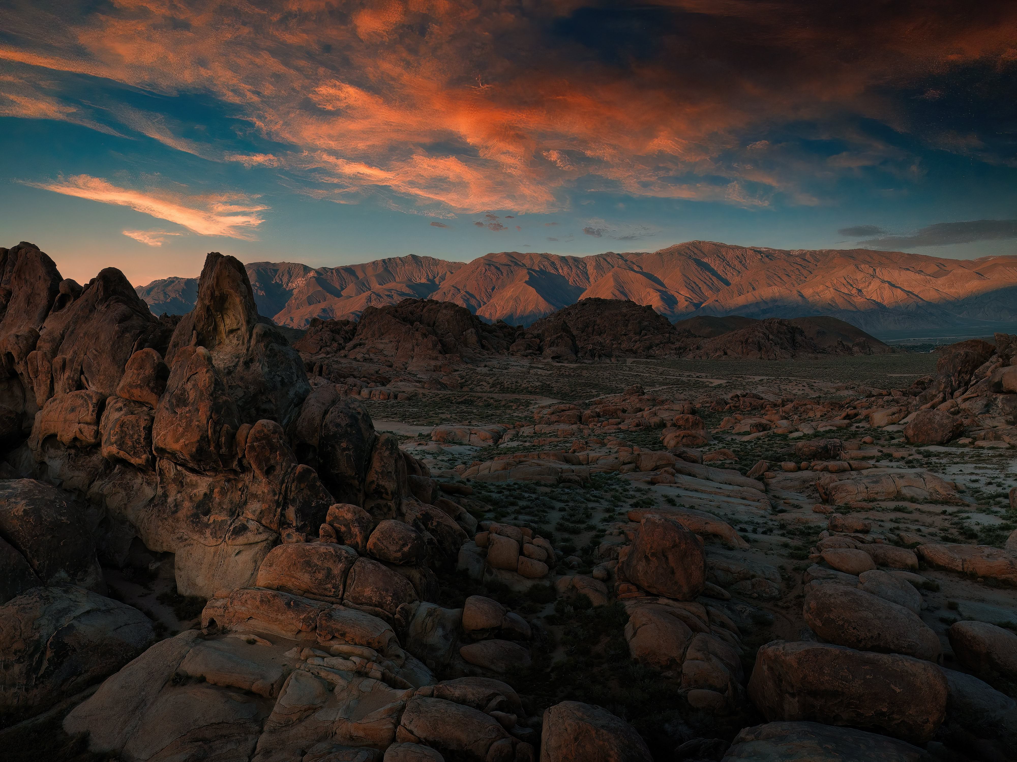
Sunrise in the Alabama Hills, CA
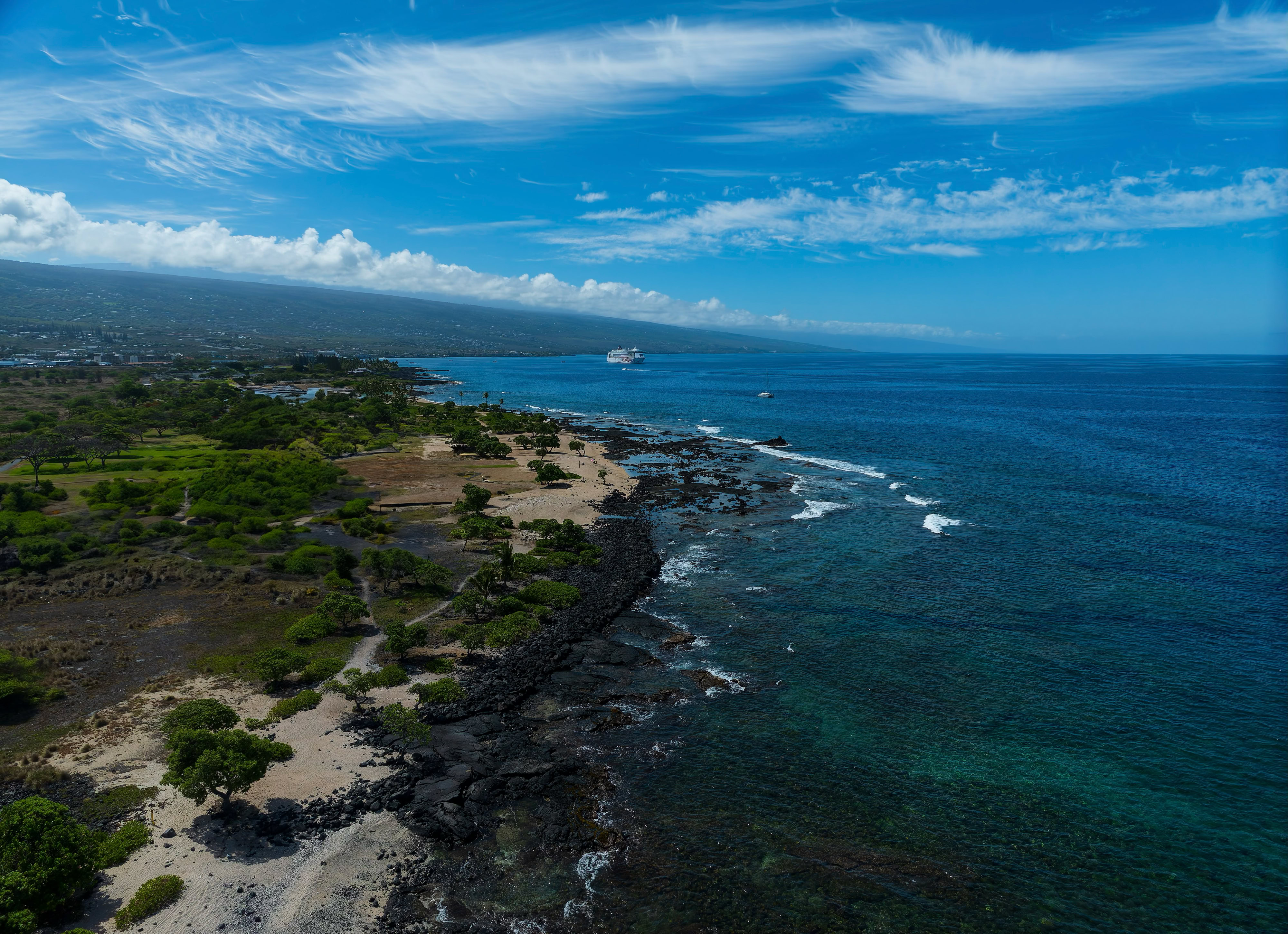
Above Kona Coast, Hi.

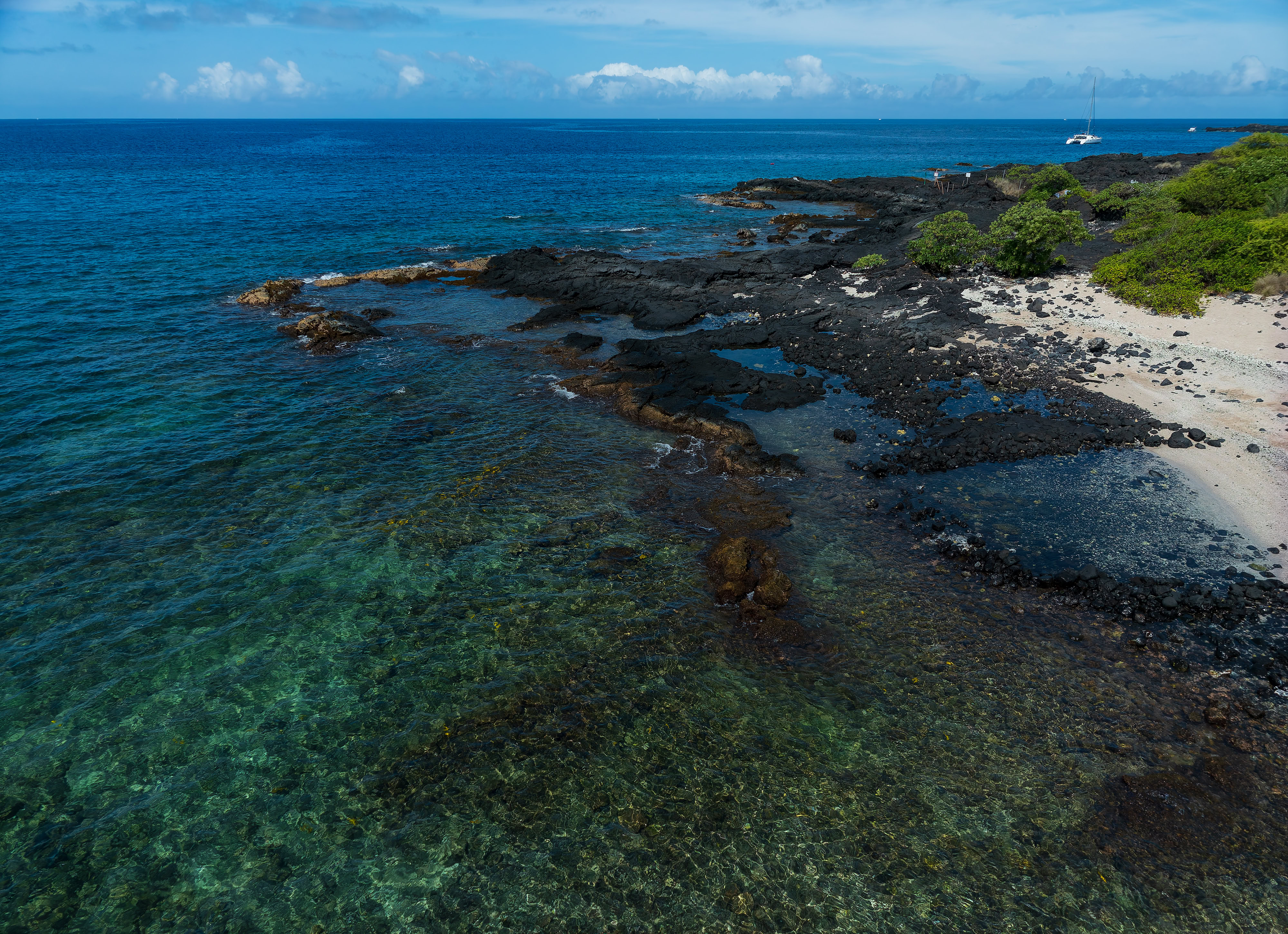
Above Kona Coast, Hi.

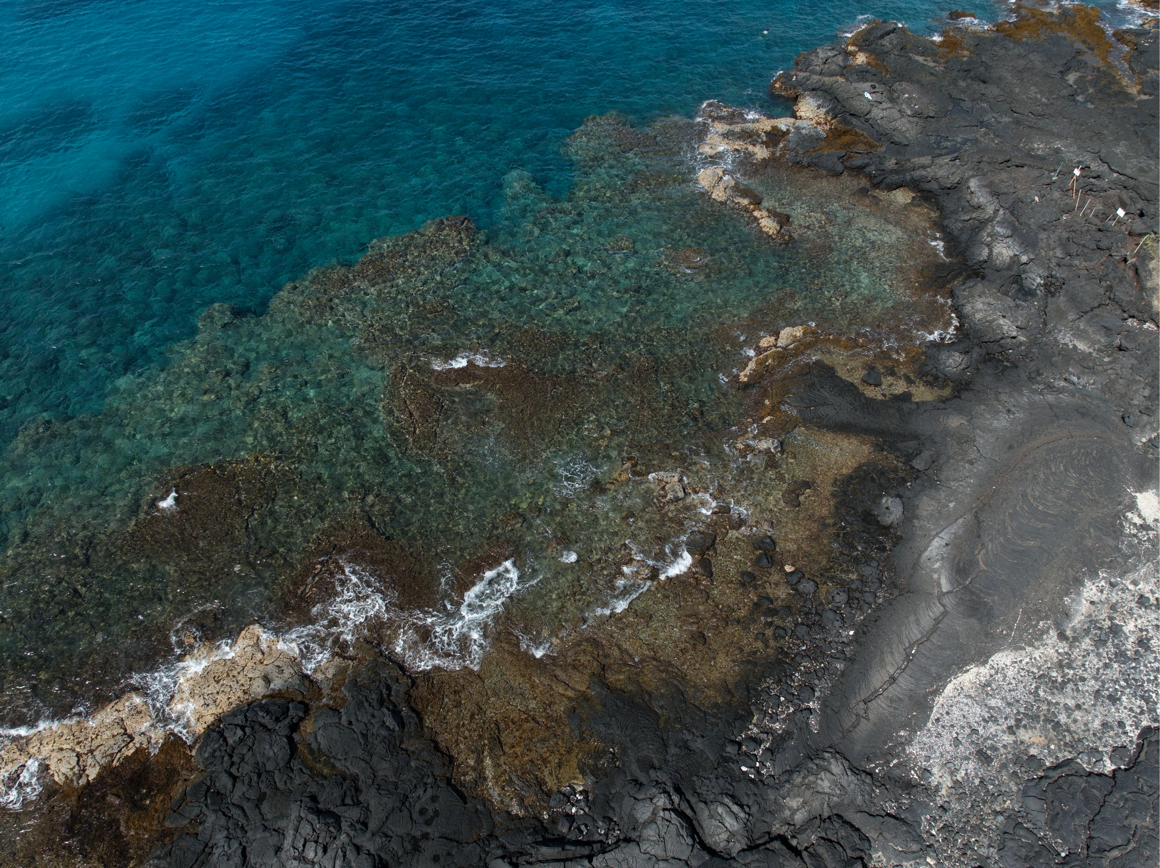
Above Kona Coast, Hi.

Missouri River near Hermann, MO

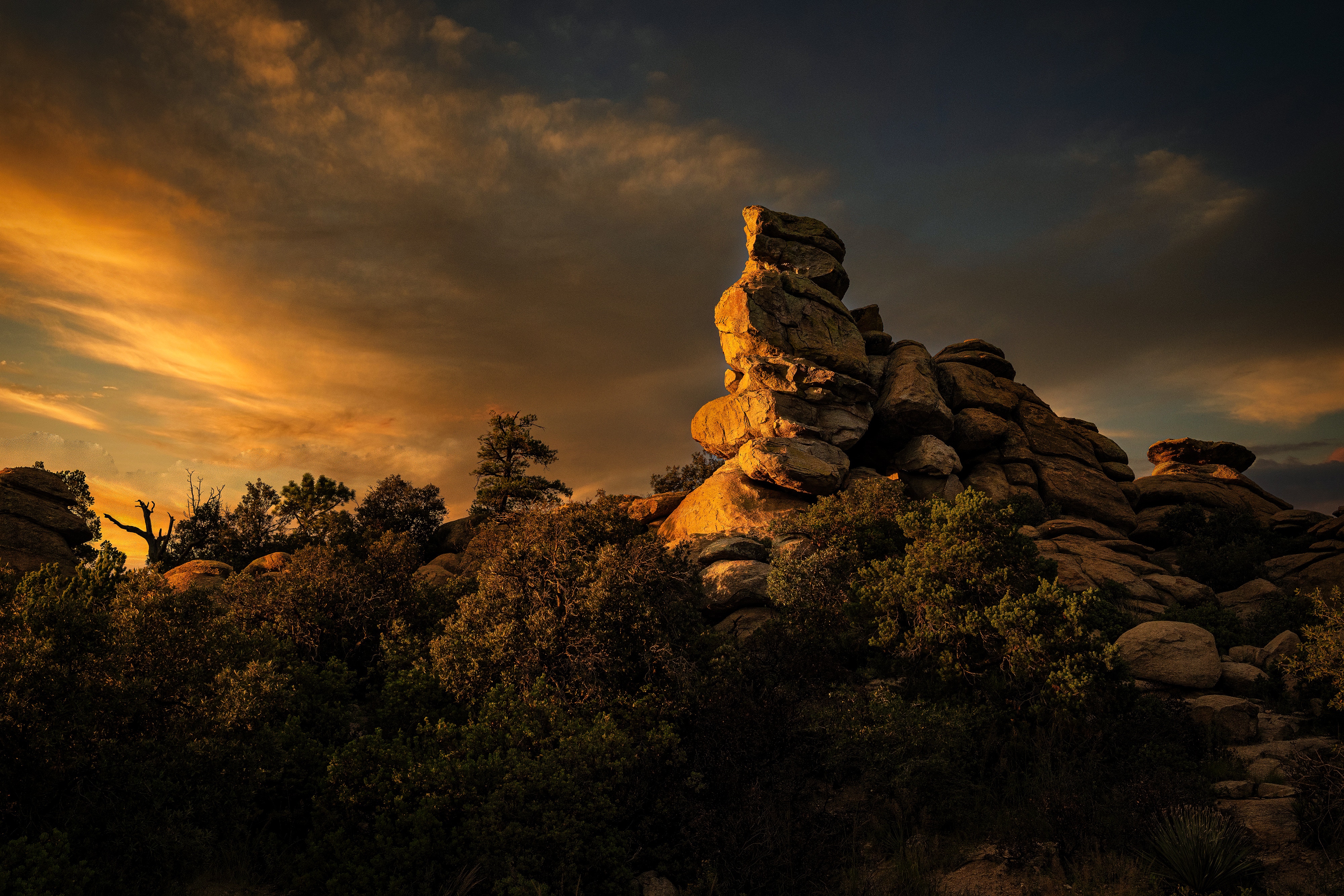
Mt. Lemmon Sunset
Sombrero Peak near Tucson

Road to Mount Lemmon
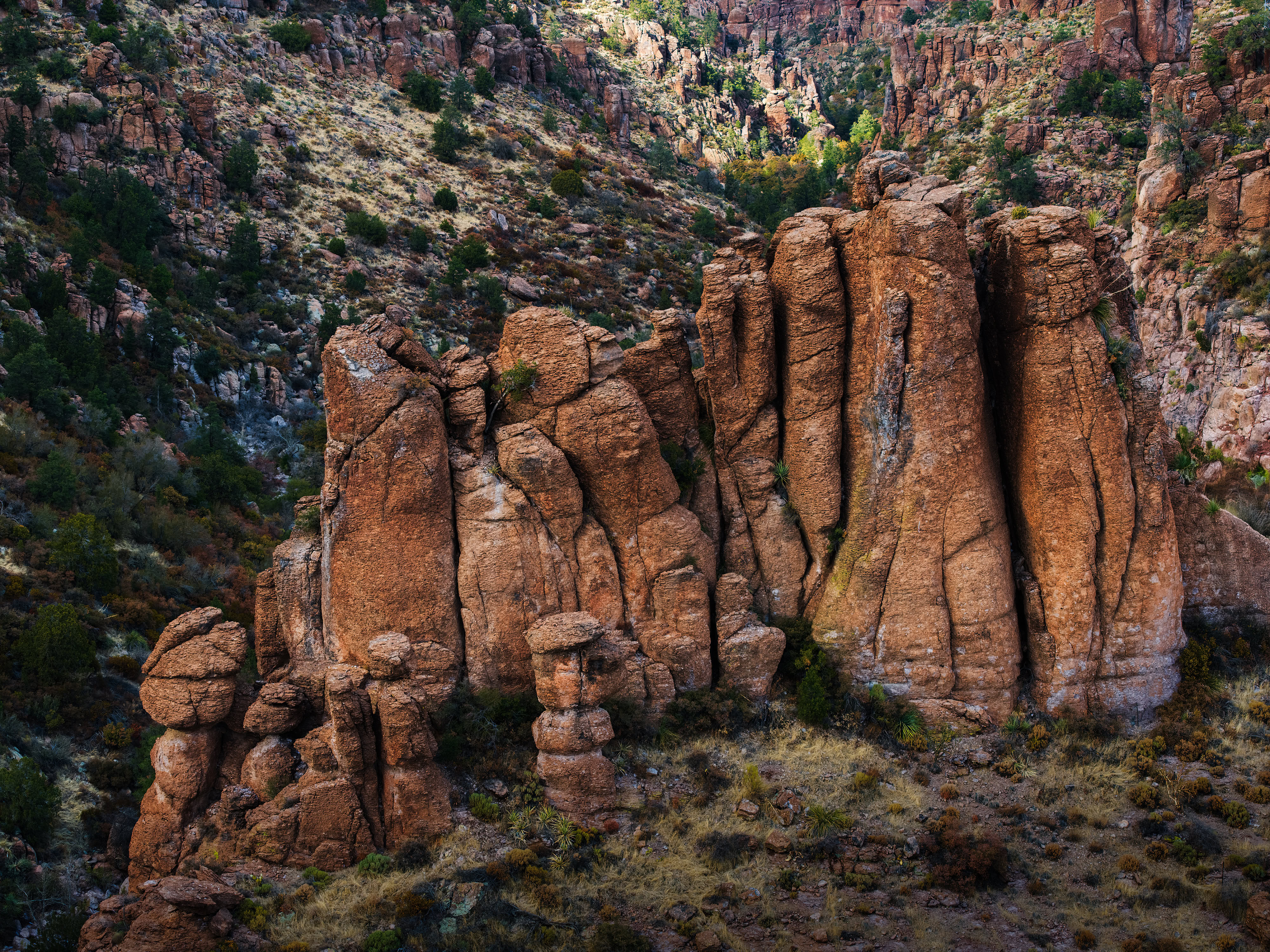
Mt Lemmon HooDoos
Picture Rocks, AZ Sunset
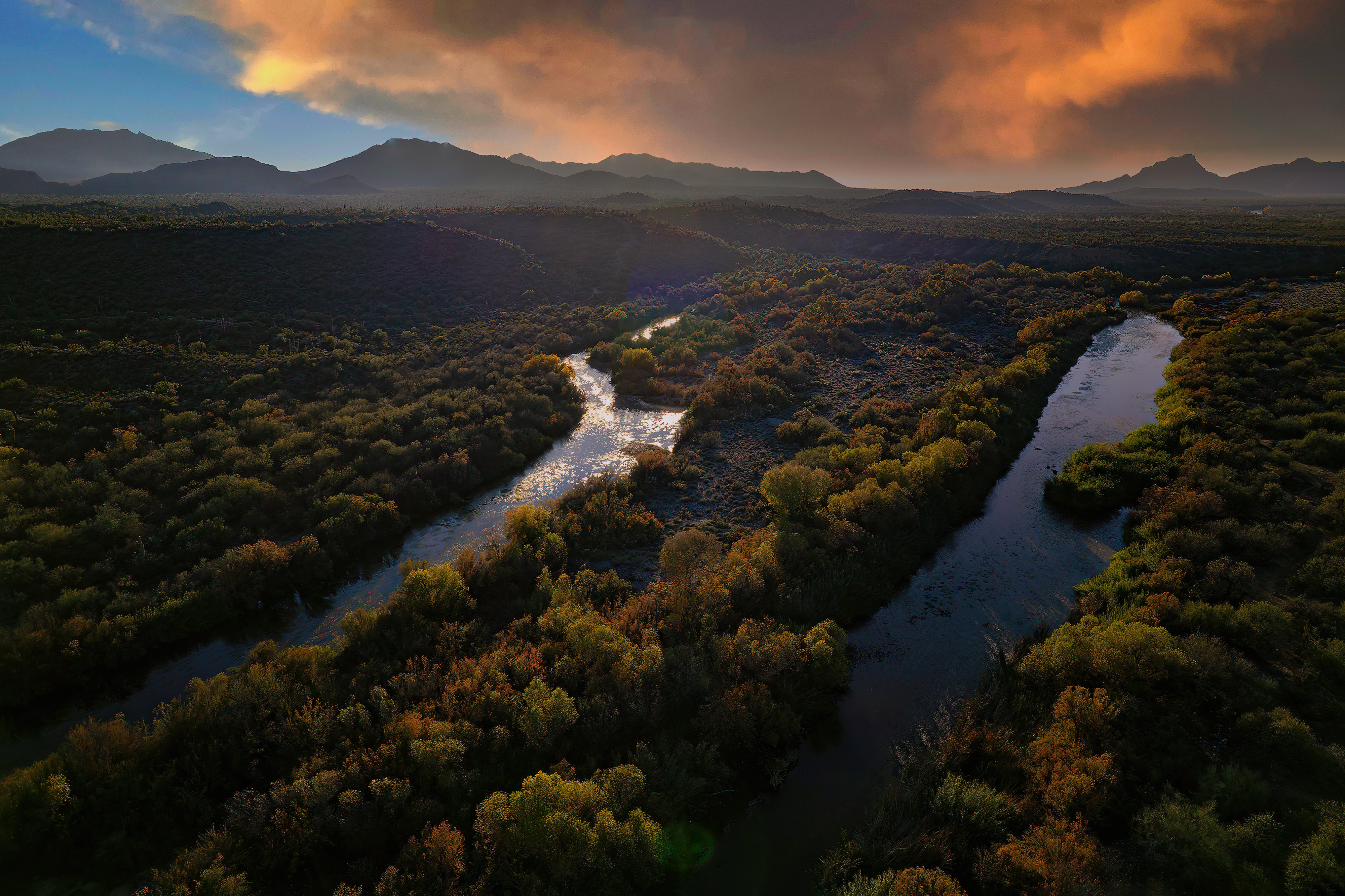
Salt River, AZ
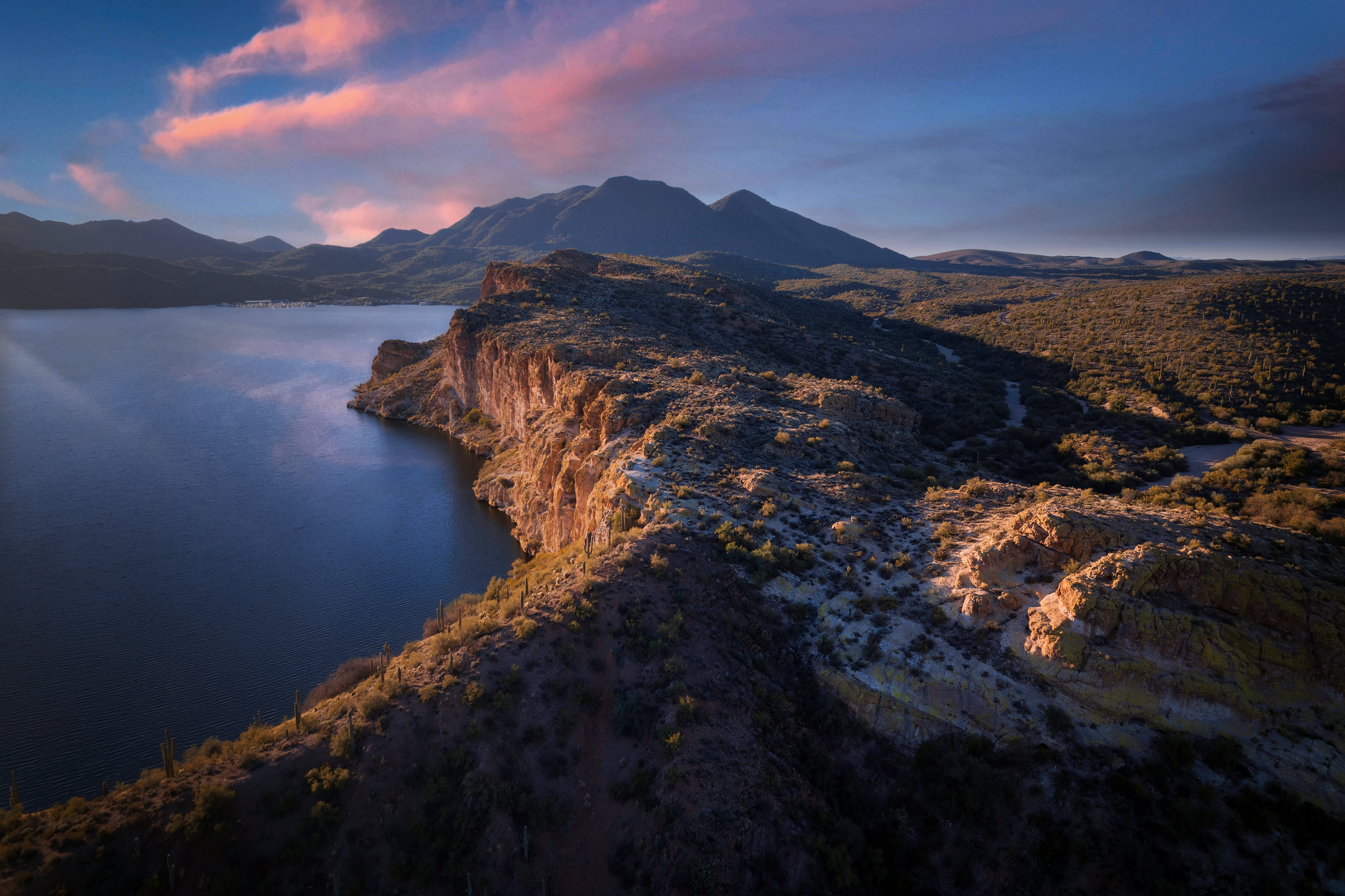
Above Saguaro Lake, AZ
Devils Canyon, Arizona

Alabama Hills, Ca
The Boulders, AZ
Apache Trail, AZ

Rams Pass, AZ
Salt River, AZ
Above Canyon de Chelly, AZ
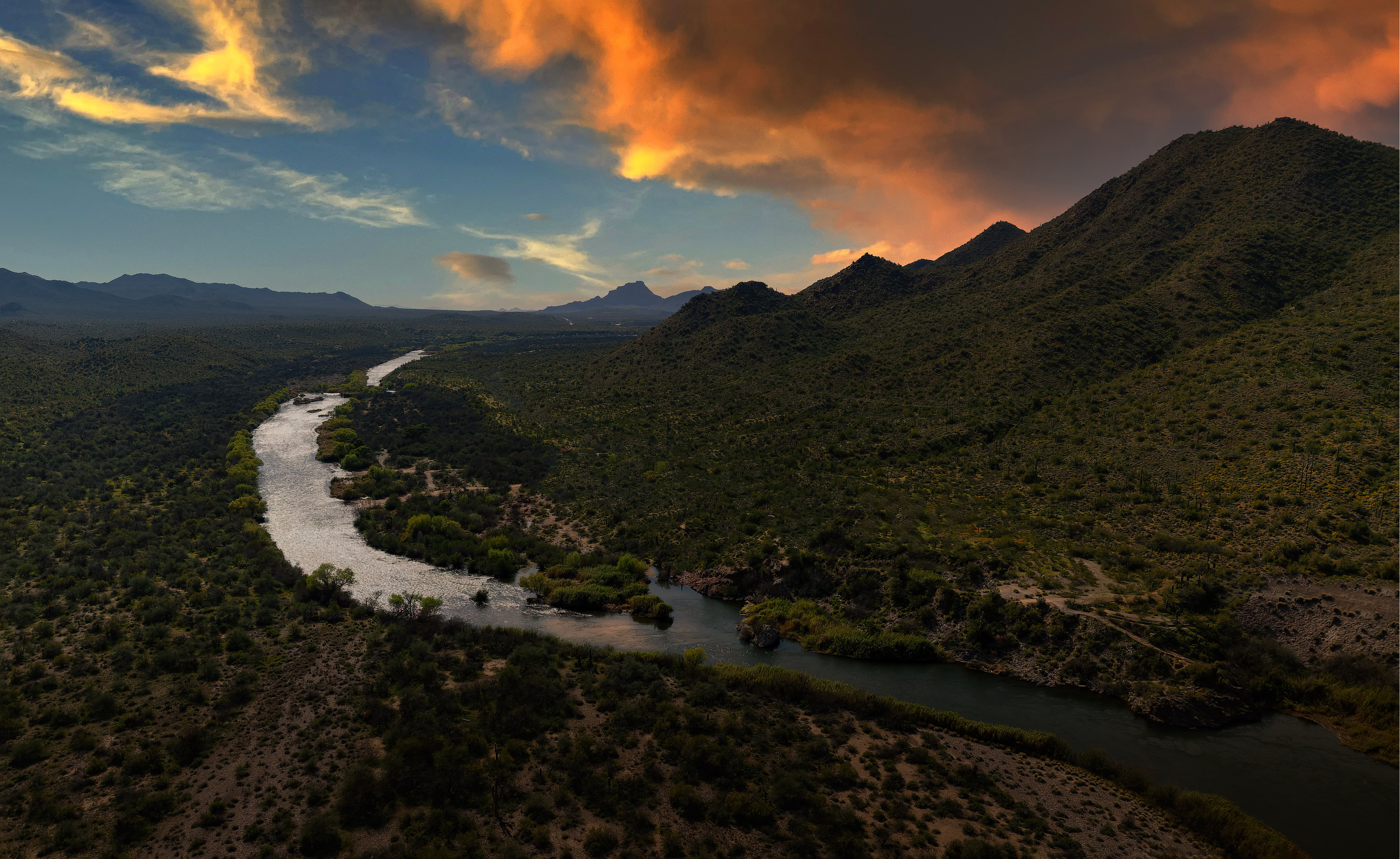
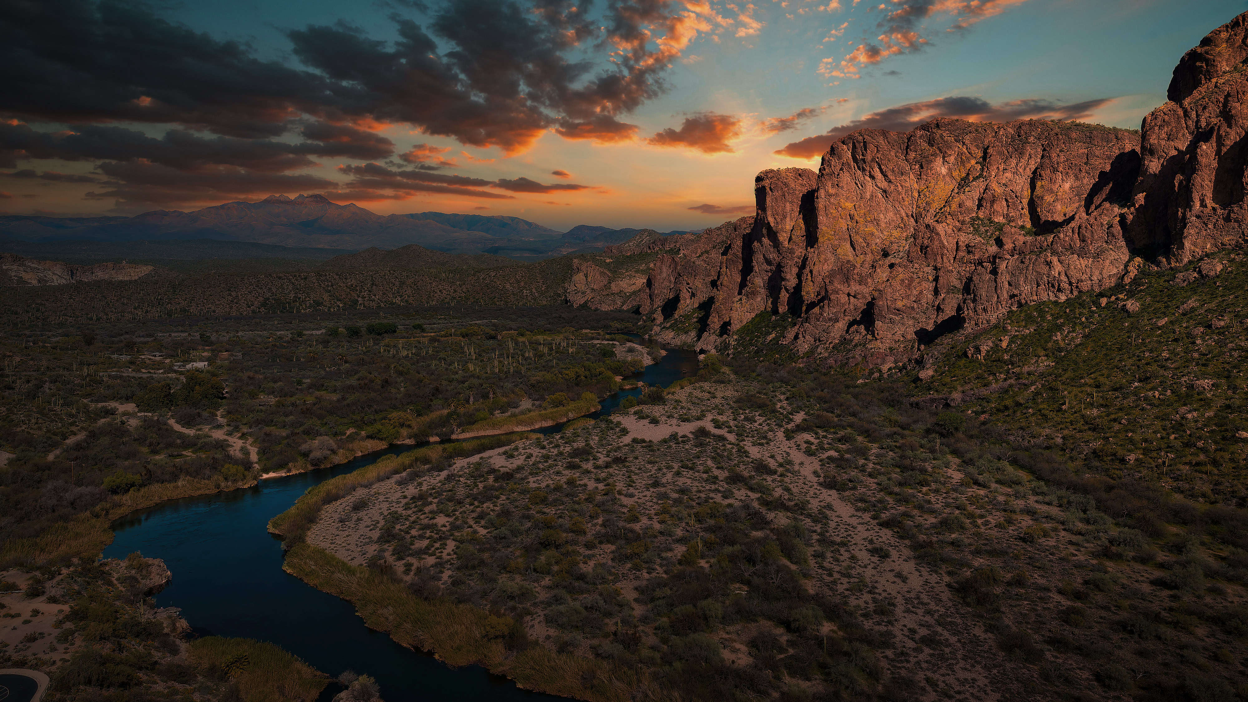

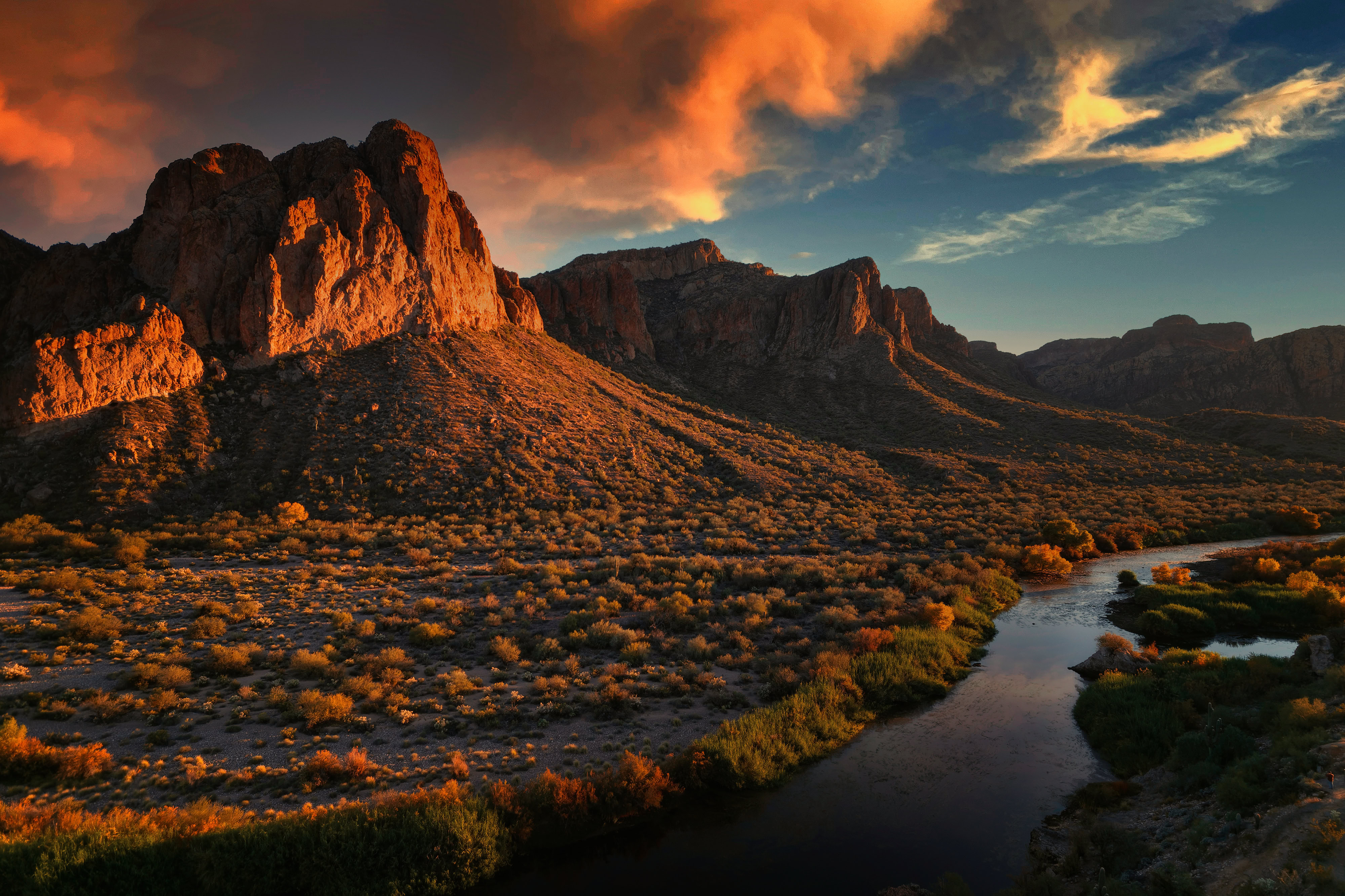
Salt River looking South
Salt River looking North
Tanque Verde Falls
Alabama Hills, Ca
Alabama Hills Dawn
Mt. Whitney 9 image panorama


Twisty Roads near Picture Rocks, AZ

Saguaro Lake, Arizona

Canyon de Chelly near Chinle, AZ

Above Red Rock Canyon, NV
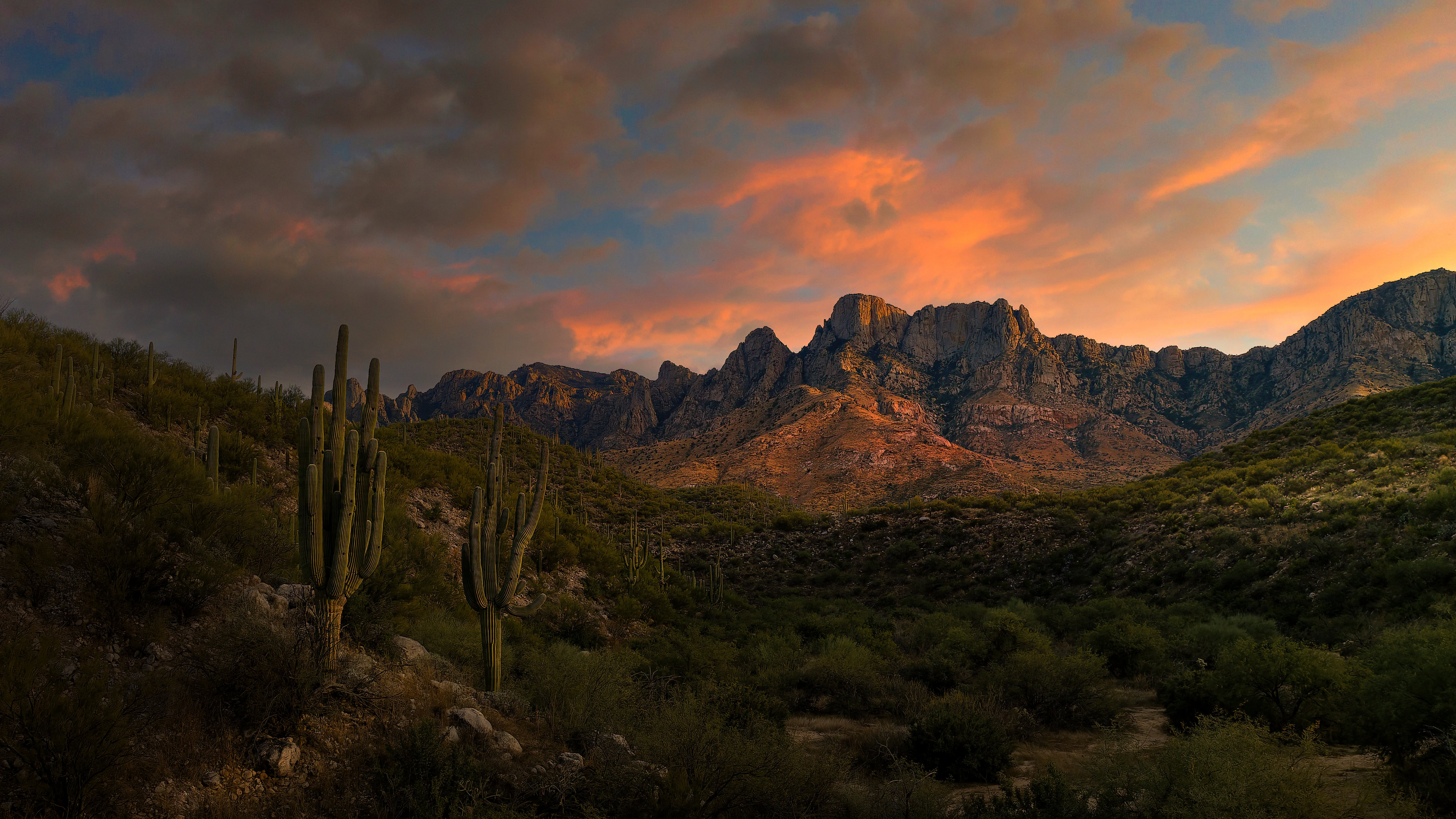
West Face of the Catalina Mountains
Above Canyon de Chelly, AZ
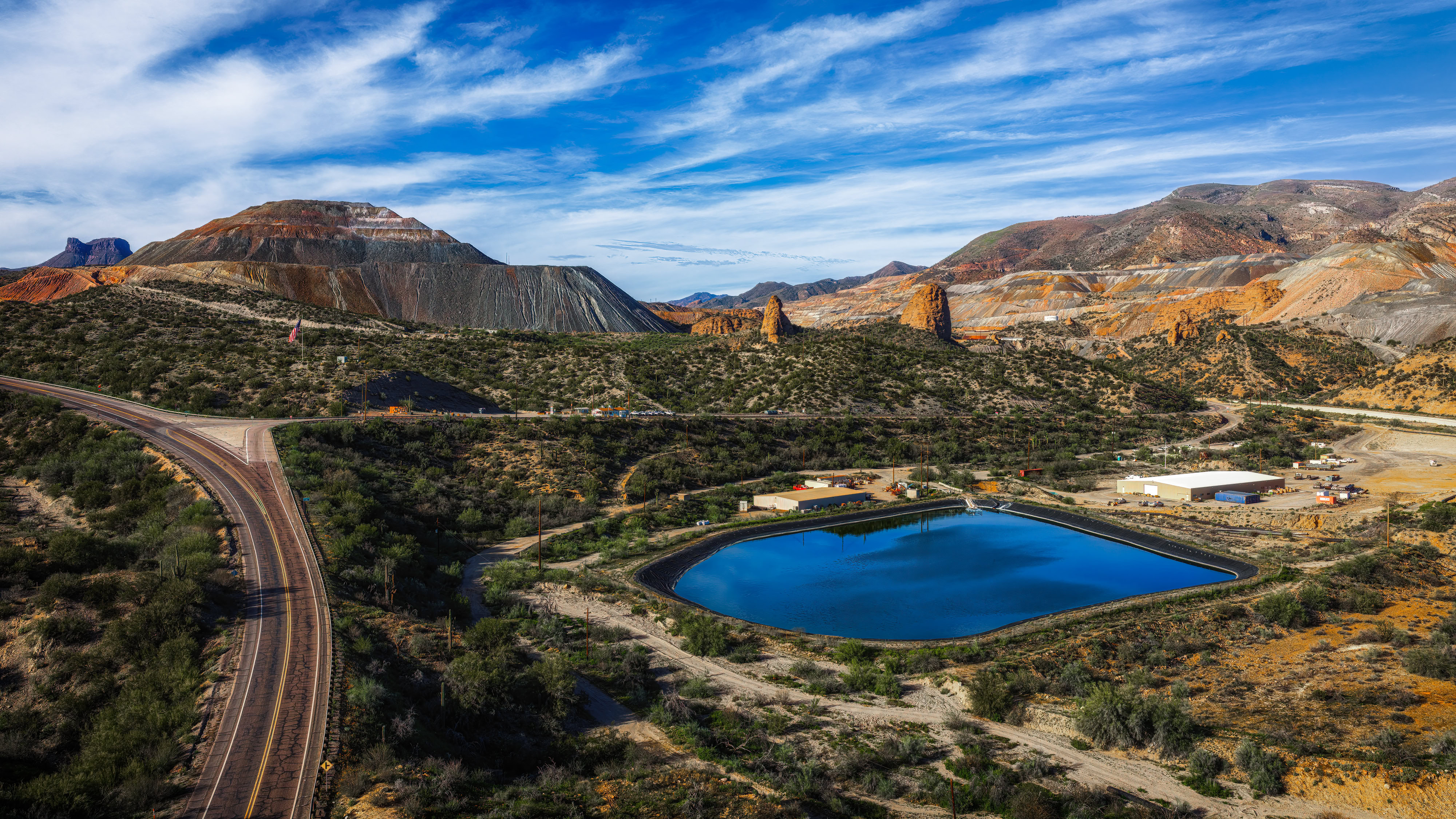
Asarco Mine near Kearny, AZ
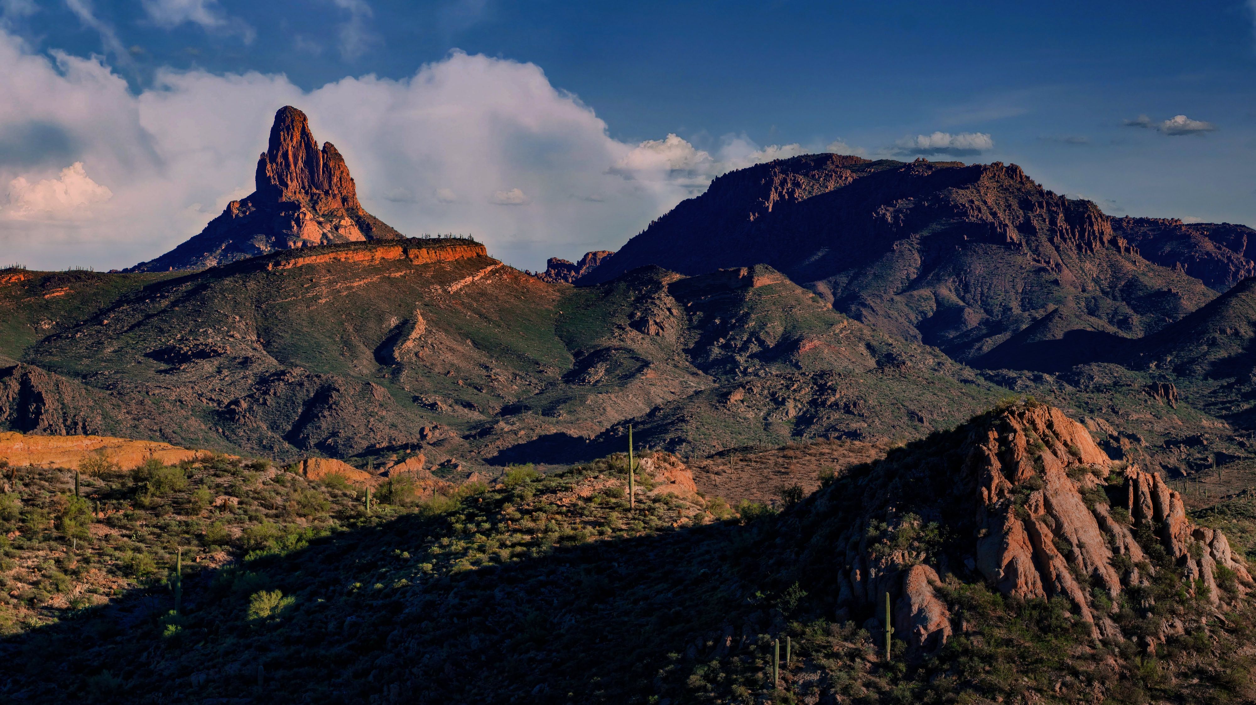
Tonto National Forest near Mesa, AZ
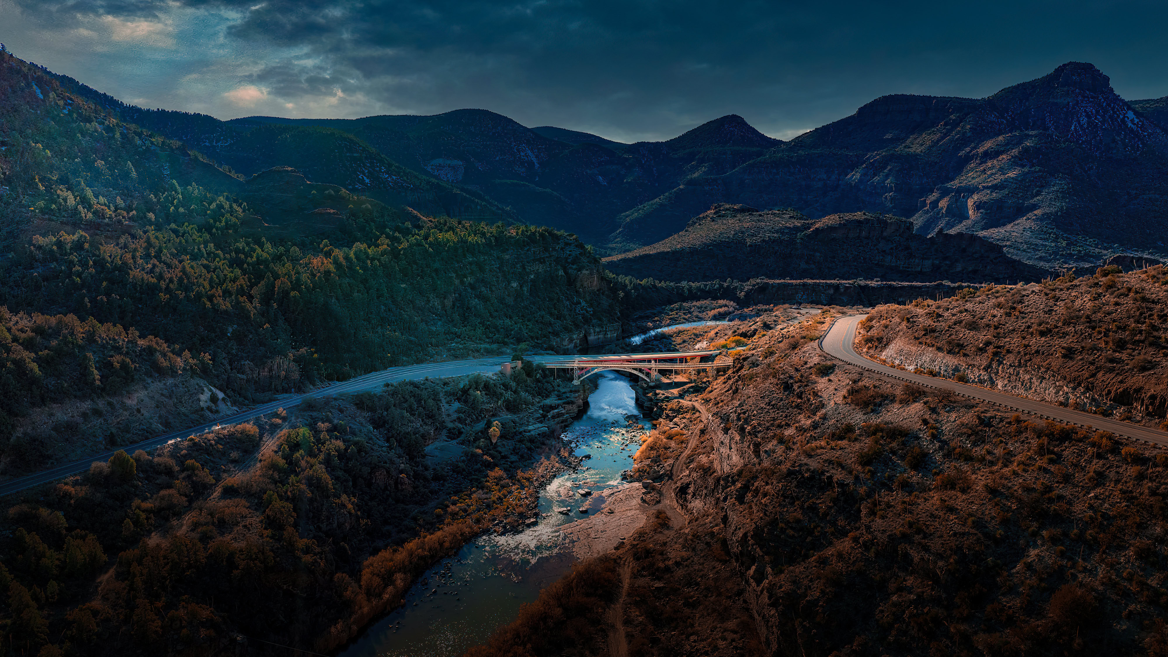
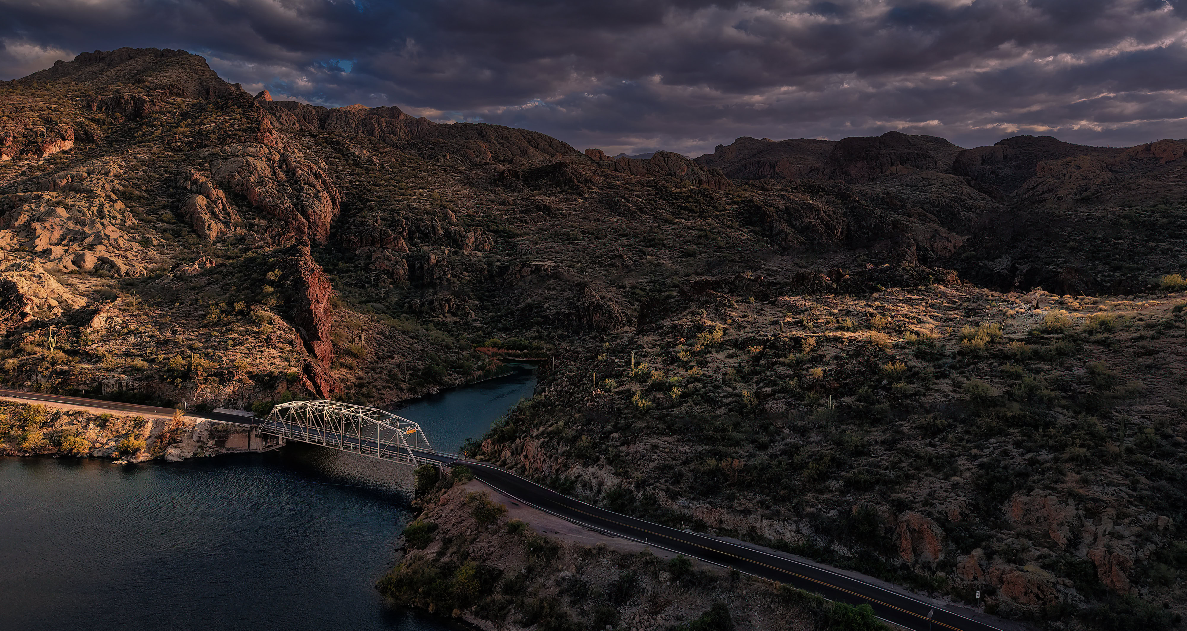
Salt River Canyon Bridge
ForFor something a little different check out a 360 image taken with my Air 3S drone at Beckers Butte East of Globe, Az.. It’s 33 images combined into a sphere. You can rotate the image with your mouse or drag up and down on a mobile device. Click here to see the image.